Monday, July 10, 2006

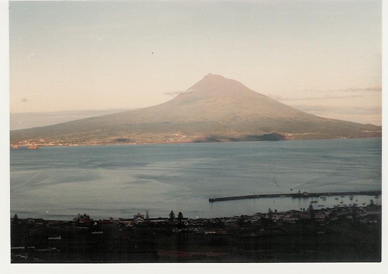
PICO - AÇORES - AUGUST 1979

A MAGNIFICENT MOUNTAIN IN THE MIDDLE OF THE ATLANTIC

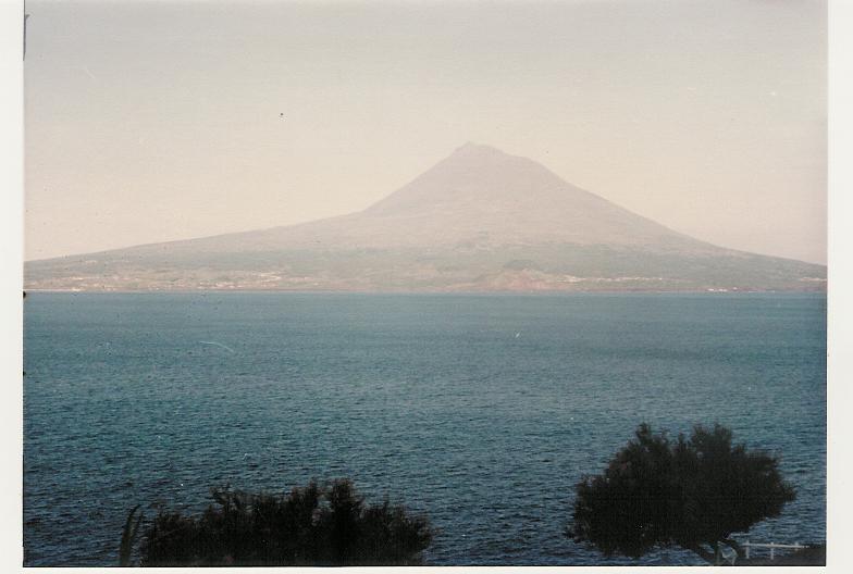
Pico (the Grey Island) is the island of the Azores archipelago (one of nine) which is noted for its famous volcano, the highest mountain of Portugal and also of the Mid-Atlantic Ridge - a basaltic stratocone 2,351m high. With a last eruption in 1963, the volcano left visible marks of the lava flows from the 16th century and 1718 eruptions. The island - 42 km long and a maximum width of 15 km - is the second largest of the Azores islands after São Miguel. With a total population of around 15,000, it is located at 38º 47' latitude North and 28º 40' longitude West, 7 km west of Faial and 17.5 km south of São Jorge. Having supported a substantial whaling industry until 1980, Pico has seen the Landscape of the Pico Island Vineyard Culture included in the UNESCO World Heritage List in 2004). It has a notable Verdelho wine, the Vinho do Pico.


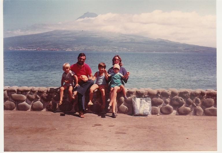
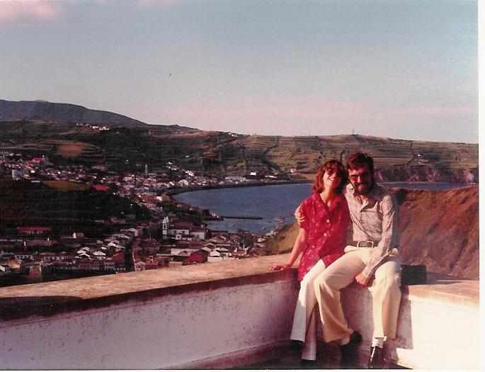
"PICO - It is said that Pico Island was first occupied around 1460, in the time of Infante D. Henrique (the Navigator). The view from Faial is gorgeous"


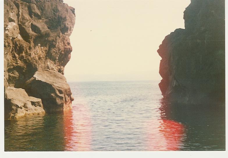
"ROCKS - Deep water, high rocks"


"TOUR the Island in one day, unless you want to climb the mountain"


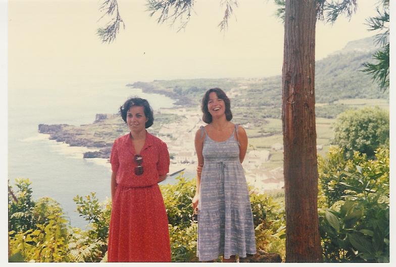
"BACK TO FAIAL - Departing from Madalena"


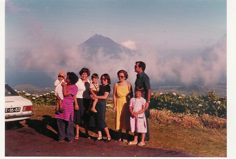
"PICO - the barometer for the surrounding islands! 2351 meters from sea to top without a single cloud... that is astounding!"

Saturday, July 08, 2006

FAIAL - AÇORES - AUGUST 1979

THE BLUE ISLAND

Faial was discovered by Diogo de Silves, a Portuguese pilot, in 1427. Different tones of blue - from the sky, the sea and inland, decorating the houses, covering the walls, lining the roadsides, and dividing the fields – justify the name given to the Island. But actually the name Blue Island was created by poet Raul Brandão, due to the large quantity of Hydrangeas that bloom in summer. The island, with an area of 173 square kilometres and roughly fifteen thousand inhabitants, is part of the central group of the Azores archipelago, 4 miles from Pico, 11 miles from São Jorge and 66 miles from Terceira. It is located 28º7'longitude West and 38º6'latitude North. Horta is the seat of the only municipality in Faial, and the liveliest, and most cosmopolitan city of the Azores. Furthermore, it has a fabulous view over Pico Island!"


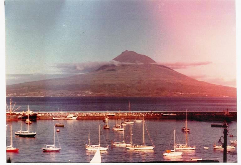
"PICO - From the Marina of Faial, a fantastic view to Pico"


"PORT AND MARINA - In the 18th century the whaling fleets came to Horta, which became a very important stopping point for the yachts crossing the Atlantic in the 19th century (the port was built in 1876). Horta's location was responsible for Pan American establishing a Clipper base there, as well as for the building of the British, American, French, German and Italian intercontinental submarine cable stations. Today, the Marina is usually filled with yachts which keep stopping here during their trips across the Atlantic and its sea wall is covered with hundreds of paintings and messages left by the sailors who call in at the port. Peter's Café is the meeting point for locals and travellers, as well as the home of the «gin tonic»"


"BAY OF PORTO PIM - The Porto Pim Bay on the right hand side of the photo has a very nice, calm and warm black lava sand beach"


"ALMOXARIFE BEACH is the «other» beach on the island, a wonderful one with a fantastic view of the Pico Island"


"FAYAL HOTEL - There is also a chance of using the swimming pool of the Fayal Resort Hotel, an amazing hotel in the countryside, five minutes from town, and with a marvellous view over the city, the bay and the Pico"


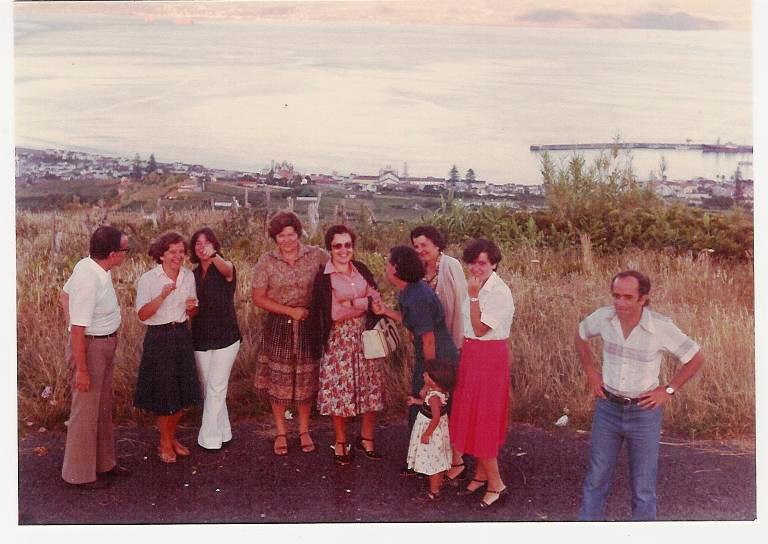
"MOUNT CARNEIRO - Touring the island with a group of friends: from here we can see the Flamengo Valley, the city of Horta and the island of Pico"


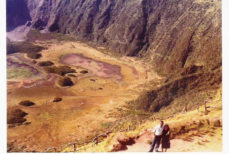
"CALDEIRA - Basically in the island centre, the Caldeira is the two km wide and five hundred meter deep crater of the extinct volcano from which the island originated. The Caldeira was classified as a Natural Reserve due to its valuable endemic vegetation and unique landscape. Until 1957 the island was circular (20 km x 25 km) but in 1957 a great volcanic eruption from the “Ilhéu dos Capelinhos”, about 1 km from the coast, projected large quantities of lava and ash forming an islet that later became connected to Faial by an isthmus. This enlarged the island by 2.4 square kilometers"


"MONTE DA GUIA - Another vulcanic cone, with spectacular view of Faial and the Atlantic Ocean".

Thursday, July 06, 2006

SÃO MIGUEL - AÇORES - AUGUST 1979

NINE BEAUTIFUL ISLANDS IN THE NORTH ATLANTIC OCEAN

The Portuguese discovered the Azores islands of Santa Maria and São Miguel in the beginning of the 15th century. Actually during the year of 1427 Gonçalo Velho Cabral, a navigator in the service of Prince Henry and a knight of the Order of Christ, brought cattle to Santa Maria and was later its captain-donee. Due to its strategic position, the archipelago (Santa Maria, São Miguel, Terceira, Pico, Faial, São Jorge, Graciosa, Flores and Corvo) was to become an important waypoint on the main routes between Europe, the Orient and America during 16th and 17th centuries. In São Miguel settlement seems to have started in 1444. The Islands are a real gem, and its beauty can be enjoyed at a very interesting site called «Beautiful Azores» with many and beautiful photos (hope the Author doesn't mind to be linked from here).

***

SÃO MIGUEL

São Miguel - the Green Island - is the largest island in the archipelago of the Azores, with an area of 759.41 km2: 65 km length and a maximum width of 16 km. There are two volcanic massifs and three large craters (Sete Cidades, Fogo and Furnas), which have wonderful lakes of crystal-clear water. The island is situated at 250º30' West and 370º50' North.

***

PONTA DELGADA


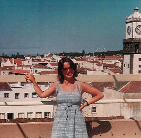
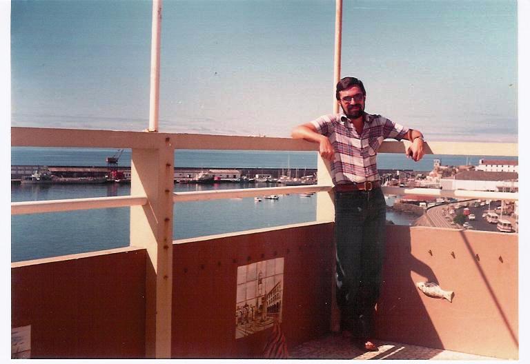
"PONTA DELGADA is the largest city in all Azores. This hotel no longer exists, but its terrace had a nice view over the city, the bay and the port. However, it seems there are new hotels in the area also with very nice views. The white and black tower of the church is an interesting feature of the downtown area"


"MARGINAL - The «Marginal» road in Ponta Delgada is a very nice strolling spot. Hope they have imploded the awful tower seen on the left of the picture..."


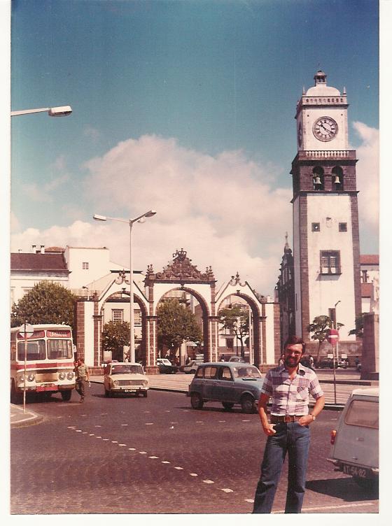
"PORTAS DA CIDADE - The city gates are a must"


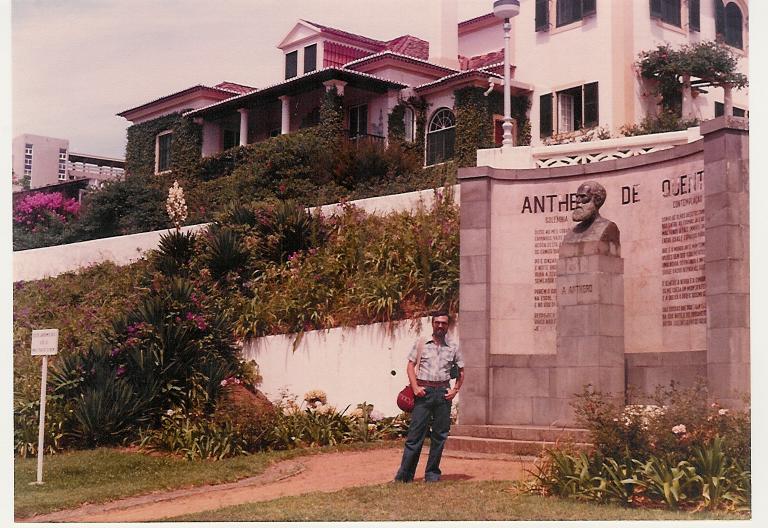
"ANTERO - Ponta Delgada is also a cultural centre. It honours here one of its most prominent citizens: the poet Antero de Quental"


"QUALITY OF LIFE - In São Miguel you'll be able to find some of the best pineapples in the world.
Quite close to Ponta Delgada downtown area we visited some friends and had the sweetest pineapple ever tasted (forget Dole and the Hawaii), directly cut from the plantation!"

***

LAGOA DO FOGO


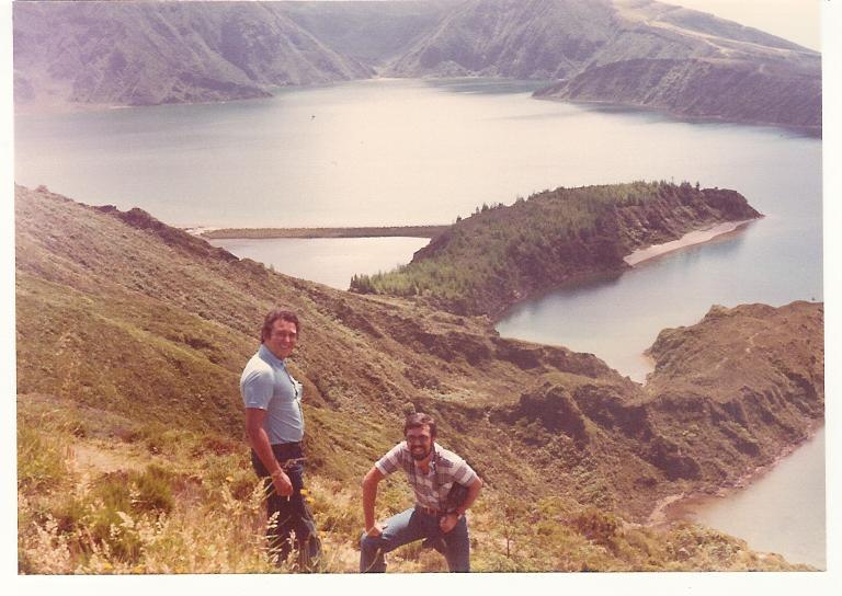
"LAGOA DO FOGO is the most beautiful and the best preserved of the lagoons in São Miguel. It is also the one situated at the highest level on the island. Amazingly, on Blake and Mortimer's «Atlantis Mystery», São Miguel is one of the exits of Atlantis; it should be somewhere around the Lagoa do Fogo. You do not find Atlantis there, but very nice pictures of Lagoa do Fogo at the site Azoren"


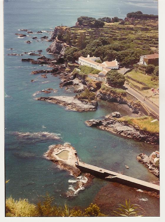
"CALOURA - Village of Água de Pau, showing the famous Caloura Convent (the large building on the right hand side), where the image of the Saint Christ of the Miracles - given by the Pope to the people of São Miguel - was kept. Now, it seems they built a resort around the corner"

***

LAGOA DAS FURNAS


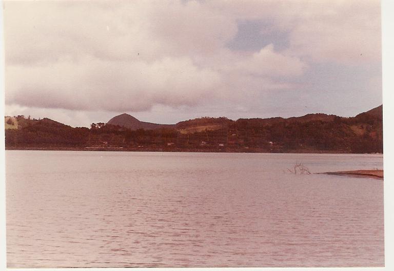
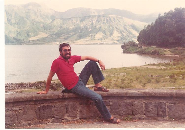
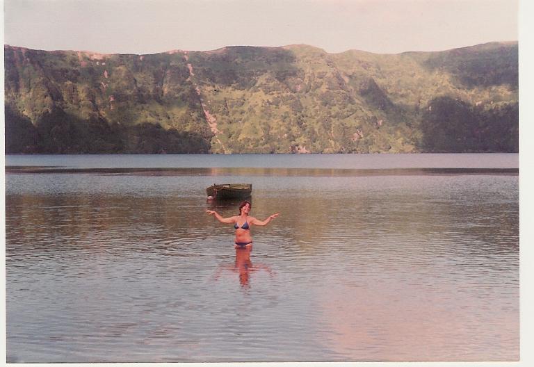
"LAGOA - Furnas is a stratovolcano and is made up of two caldeiras which date back to approximately 30,000 years ago. The lagoon has a grassy and sandy beach good for bird watching. The soil below the surface at the northern part of the lake is so hot, that you can cook your meal in small wells. The local delicacy of Furnas is Cozido, a beef stew. Some, probably less familiar with gourmet delicacies, may say it is a tourist trap; however, if you are not caught in the tourist circle, and find the right connections, you'll enjoy it"


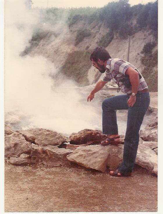
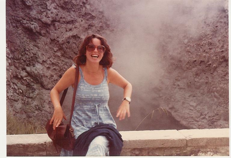
"FUMEROLLES - The volcanoes in Furnas are very active. The first known eruption was in 1440; the second was in 1630 and caused 200 deaths. Furnas is also famous for its springs and geysers. In the village, the area around Furnas has thirty springs, each of which has a different temperature and chemical composition. There is also a hot river which flows through the village"


"PARQUE TERRA NOSTRA - In the middle of the old town there is an exotic botanical garden - the Park Terra Nostra. It may be a paradise for walkers, birdwatchers and flower lovers. The gardens are really worth the trip"


"POOL - The swimming pool at Furnas, in front of the Thomas Hickling's House the first American Consul in the Azores is huge. The water of the pool is warm and its depth is only about one and half meter. There are also installations of hydrotherapy in the park, which were built in the 19th century"

***

SETE CIDADES


"SETE CIDADES ("Seven Cities") is one of the most beautiful natural settings in the world, with two lagoons in the centre of a volcanic crater. The lagoons are roughly 5 km in length and about 1 to 2 km in width. Looking from the edge of the crater - Vista do Rei (King's view, as it was the place where King Carlos from Portugal saw the lagoon), 500 meters high - one lagoon looks green (reflecting the ground - Lagoa Verde) and the other looks blue (reflecting the sky - Lagoa Azul). According to a legend, the lagoons were created by the tears shed by a princess and her lover, a young shepherd, when they had to say farewell to each other. The different colours of the lagoons match the colours of their eyes"


"SUN AND SHADE - Down the hill, getting to the water"


"ON THE BEACH"

***

MOSTEIROS


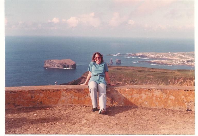
"FAREWELL - Mosteiros, a nice place to say goodbye to São Miguel"
Tuesday, July 04, 2006

NEW YORK WITH STANLEY - MAY 1979

NEW YORK ARCHITECTURE IS A CHALLANGE FOR YOUR SIGHT!

THREE LANDMARK BUILDINGS: THE TWIN TOWERS, THE EMPIRE STATE, AND THE BEST VIEW FROM THEM ALL - THE RCA!

In May 1979 Stanley, whom we had met in 1975 in Rome, actually on an excursion to Florence (see Florence, December 1975), travelled from New Haven to join us in New York for a stroll in town. That's when we discovered one of the best (if not THE best) cake ever produced: NEW YORK CHEESECAKE! Years later I found Eileen's: even better!


"ROCKFELLER CENTER - With Stanley"

"TIMES SQUARE - and Stanley"

***

TWIN TOWERS AND WORLD TRADE CENTER PLAZA

Ready at the beginning of the seventies, they were the tallest buildings in New York city.


"WTC PLAZA SPHERE - It was damaged by the 9/11 attack but survived destruction"


"WTC ONE AND WTC TWO - Designed by Minoru Yamasaki, 417 meters high, 110 floors!"


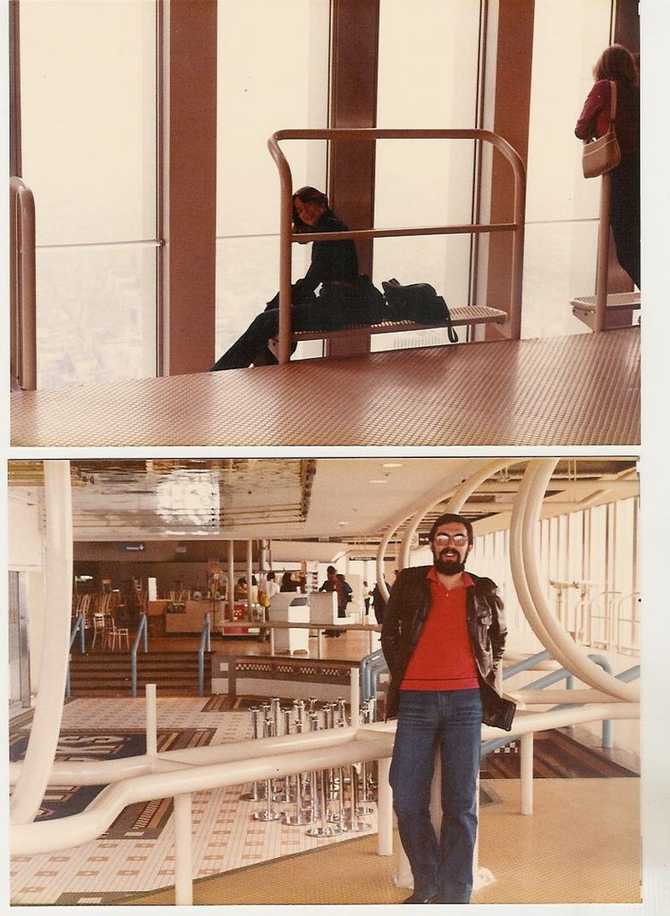
"107th FLOOR - Views from inside"


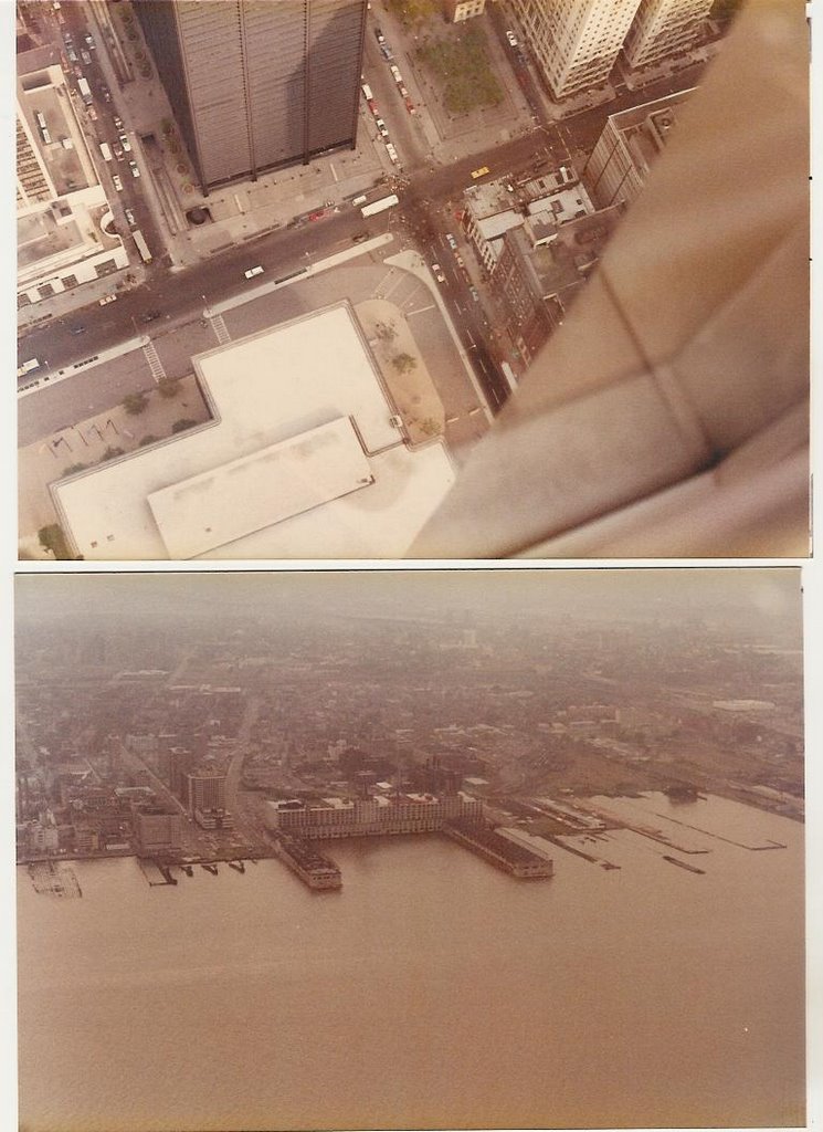
"VIEWS - Church street and New Jersey port"


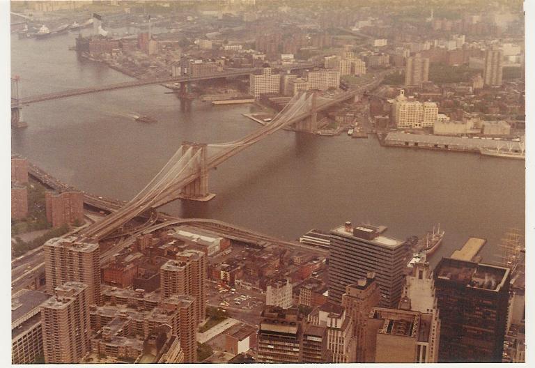
"BROOKLIN BRIDGE"

***

EMPIRE STATE

Opened to the public in 1931, after a fierce competition between Chrysler and General Motors to see who would build the tallest building. Chrysler is much more beautiful!


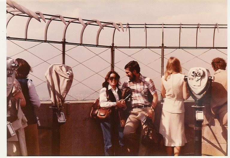
"OBSERVATORY - At the 102nd floor, a bit misty in the background"


"TWO AT THE TOP"


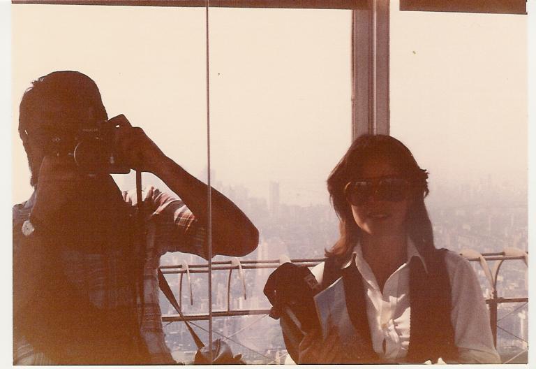
"MIRROR EFFECTS"


"NORTH"


"EAST"


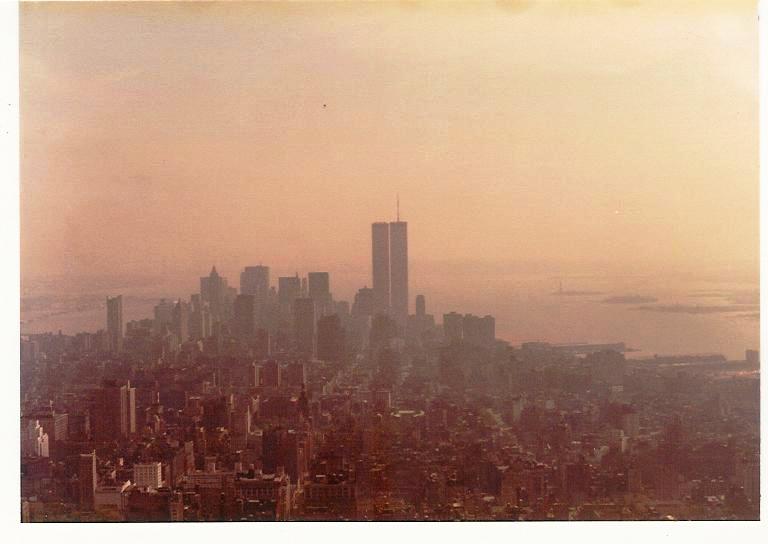
"SOUTH"

***

RCA - Built in 1931-1933 for the Radio Corporation of America. The open-air observatory had a fabulous view of Manhattan. In 1986 it was closed to the public due to the expansion of the Rainbow Grill restaurant and bar lounge. Fortunately, after almost a twenty-year wait, someone was clever enough to reopen the Observatory: "Top of the Rock".


"SOUTH - Empire State and Twin Towers"


"SOUTHEAST - PAN AM and Chrysler"


"EAST - East River, PAN AM, and Helmsley Tower"


"NORTH - Central Park"


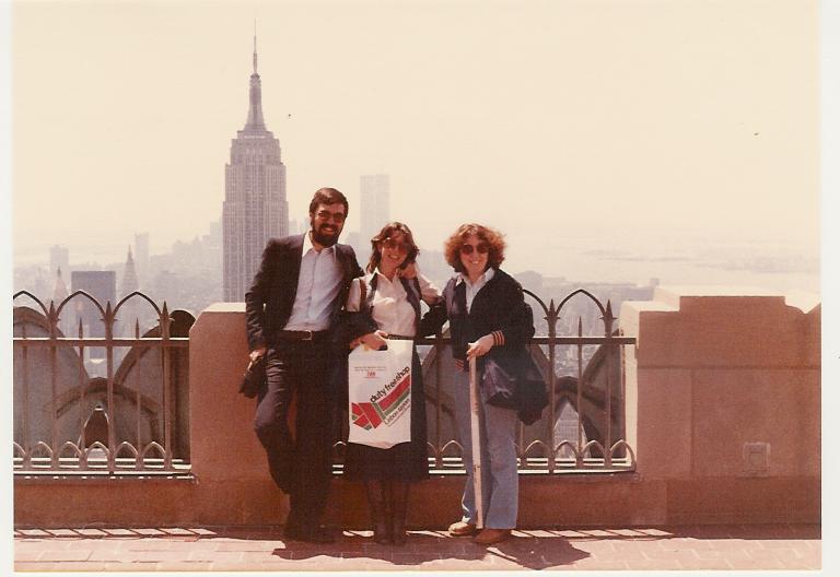
"TRIO, with unknown tourist. Her husband took the photo..."